La Nina Develops, Could Affect Our Winter Weather Patterns
NOAA’s climate protection center has confirmed a La Nina weather pattern has developed and is likely to last through winter. Translated from Spanish La Nina means “little girl,” it is a natural ocean-atmospheric condition marked by cooler than average sea surface temperatures in the central and eastern Pacific Ocean around the Equator. La Nina is the opposite of El Nino, translated as “little boy” which brings warmer than average sea surface temperatures in the region. Every two to seven years the pattern can shift back and forth irregularly, and each phase sets off predictable disruptions of temperature, precipitation, and winds. They are changes that disrupt the large-scale air movements in the tropics which trigger a surge of global side effects. In a La Niña winter, the arctic jet will move south and usually brings above-average precipitation to our region. It could be snow or rain, but that still is to be seen.
MLive reports “According to the consensus forecast, La Niña will have surface water averaging about one degree Celsius colder than average this winter. A one-degree colder variation would be called a moderate strength La Niña.”
For the months ahead, scientists say there is a 75% chance that La Nina will be in place from December 2020 through February 2021.
NOAA says the last La Nina appeared during the winter of 2017-2018, and El Nino followed in 2018-2019. When neither climate pattern is present, as we saw during the winter of 2019-2020, the El Nino Southern Oscillation (ENSO) is neutral and does not influence global climate patterns.
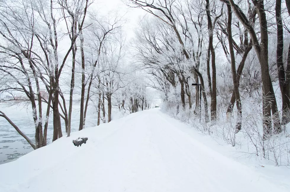
Whatever way the weather goes this winter, we now know it will have a little help from the “Little Girl,” El Nina. Better have your snow blower ready to go because when it comes to the weather, you never know for sure!

Photos Of The Hail Storm That Hit The Lansing Area on Tuesday, April 7th, 2020
More From The Game 730 WVFN-AM