Does A Freeze Warning/April “Snowstorm” Mean Bad News For Mid-Michigan?
There are certain things we come to accept in Michigan. The Lions, potholes, construction, and winter hanging around for as long as it can.

Even AFTER it is CLEARLY spring. Please check your calendar.
However, it comes as no surprise to us. Even after a week of temps that were close to 60. Dogwood trees are flowering. People are already dressed in flip flops and shorts. Spring break is, has, or will still be happening for folks.
But as a Michigander, you know there is still a possibility for a snowflake or two to come creeping back into your life. Kinda like the villain in a horror movie. You thought they were dead and gone but here they are to terrorize your life. Again.
In the immortal words of one Marshall Mathers, "Guess who's back? Back again?"
We've got a couple of doozies for you and your plants so let's get to it.
First from the National Weather Service:
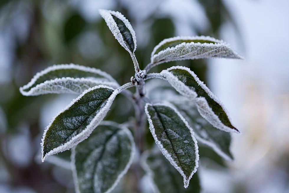
We have a FREEZE WARNING in effect from 8 pm Tuesday to 11 am Thursday.
Sub-freezing temperatures in the mid 20s expected both Tuesday and Wednesday nights. Widespread freeze conditions will damage budding fruit trees and other sensitive vegetation. Crop losses possible. Cold temperatures could damage unprotected outdoor plumbing. (WILX)
Now, let's talk about this "snowstorm". At present it looks like Detroit and Ann Arbor will be getting the brunt of it but those predictions have changed over the last few hours.
As for Mid-Michigan;
Light accumulations of slushy snow are possible for Southern Michigan late Tuesday through Wednesday morning. At this time, the highest potential to see an inch or so of snow is to the southeast of a line from Lansing to Battle Creek. (NWS)
Seeing as the forecast calls for snow late Tuesday into early Wednesday and with temps around the mid 40's, it shouldn't last too long.
It still could be a little slippery for your Wednesday morning commute so please be careful.
You're a Michigander. You got this.
LOOK: The most expensive weather and climate disasters in recent decades
KEEP READING: Get answers to 51 of the most frequently asked weather questions...
More From The Game 730 WVFN-AM